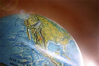
Changing coastlines, visualization in oil exploration, Canadian glaciers, Google Earth, social geographies and mapping the history of Islam will all come under the spotlight as national and international experts gather this week at the University of Aberdeen.
Professionals from the world of cartography will join experts in many fields who use mapping in their research and activities, for the 44th Annual Summer School of the Society of Cartographers.
Among the experts speaking will be Professor Danny Dorling, president-elect of the Society of Cartographers and an outstanding scholar in the geography of population, health and inequality. Professor Dorling will give a keynote presentation on 'Mapping from the cradle to the grave', illustrating his pioneering work on mapping the whole society of Britain.
The event which runs from 1-4 September is being organised by Dr Mike Wood and colleagues in the University's Geography Department. Looking forward to a stimulating four days of lectures, workshops, visits and social events, Dr Wood said:
"Maps have always been important, and their power, through technology, has never been greater. In the past maps were only static images on paper, but today they are dynamic, interactive screen-based tools with many uses, some of which will be presented this week. We at the University of Aberdeen are delighted to be hosting this excellent showcase of this power in science and society."
Also speaking at the summer school is Tom Patterson, an internationally-respected cartographer who has transformed the mapping output of the US National Park Service, and Dr David Palmer, director of the environmental noise mapping project in Scotland.
The programme for the four-day event can be seen on www.abdn.ac.uk/cartographers08/programme


