Georgina Ogg used GIS to map historical landscape descriptions in Loch Lomond
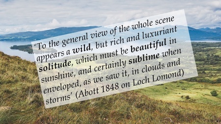
For her dissertation, Geography undergraduate student Georgina Ogg used a Geographical Information System (GIS) to map how landscapes in the Loch Lomond and the Trossachs area were described in historical travel literature in the 18th and 19th century. Her dissertation showed how the cartographic capabilities of GIS, combined with text analysis, can shed light on how landscapes were historically represented in travel literature and how these historical landscape perceptions persist until today in what we view and appreciate as 'scenic'. Georgina won the award for 'Best Dissertation' in Human Geography, and after graduating has continued to worked together with her dissertation supervisor Dr. Flurina Wartmann to publish this piece in a peer-reviewed journal. As a Geographic Systems and Data Officer for NatureScot, Georgina is now applying her GIS skills at Scotland's nature agency.


